
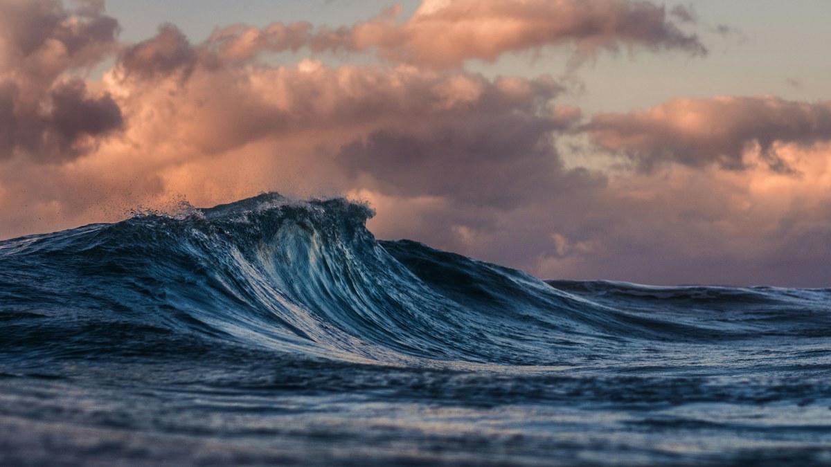
A Kelvin wave sounds like something you would watch break on a beach. In climate science, it is very different. An equatorial oceanic Kelvin wave is a broad pulse of unusually warm water that travels eastward beneath and near the surface of the tropical Pacific.
The term is drawing fresh attention in 2026 because El Niño is strengthening. Kelvin waves can move stored heat toward the eastern Pacific, helping raise sea-surface temperatures and sea levels. They are one part of the ocean-atmosphere system behind El Niño, not a standalone storm and not a guarantee of any specific winter forecast.
What is a Kelvin wave in simple terms?
Imagine a long, wide bulge of warm water moving along the equator from the western Pacific toward South America. It is not a wall of water. The change may be spread across thousands of miles and can be detected through ocean temperatures, sea level, currents, and satellite observations.
Near the equator, Earth’s rotation and the shape of the ocean guide the motion eastward. A downwelling Kelvin wave pushes the boundary between warm surface water and colder deep water, called the thermocline, farther down. With colder water held deeper, the surface and upper ocean can become warmer than usual.
NOAA explains that when Pacific trade winds weaken during El Niño, Kelvin waves travel east along the equator and then move along the west coast of the Americas. They can warm the upper ocean and raise sea level for months. That mechanism is described in NOAA’s guide to El Niño and coastal flooding.
How does a Kelvin wave connect to El Niño?
El Niño is the warm phase of the El Niño-Southern Oscillation, or ENSO. It is not defined by one Kelvin wave. Scientists look for sustained changes in tropical Pacific temperatures, winds, pressure, and rainfall.
Kelvin waves help transfer heat across the basin. Weaker or reversed trade winds in the western Pacific can trigger them. As the warm pulse travels east, it can reinforce surface warming. That warming can then influence winds and rainfall, creating feedback between the ocean and atmosphere.
The 2026 event is already more than speculation. NOAA’s September 10 update says El Niño is strengthening and gives it a greater than 90 percent chance of becoming very strong during fall and winter 2026-27. The agency also estimates a 75 percent chance that the October-to-December period reaches its defined historic-strength threshold. Those are probabilities, not promises about local weather.
Readers can follow the measurements and official outlook through NOAA’s current ENSO conditions page.
Is a Kelvin wave the same as a tsunami?
No. A tsunami is usually triggered by a sudden displacement of water from an undersea earthquake, landslide, or volcanic event. It can produce destructive waves that reach shore within hours.
An equatorial Kelvin wave develops over a much larger area and moves through the climate system over weeks or months. It changes ocean heat and sea level gradually. You cannot stand on a beach and watch a Kelvin wave arrive as a single crest.
Scientists also study atmospheric Kelvin waves, which are organized patterns of air pressure, wind, and tropical rainfall. They share some mathematical behavior with oceanic Kelvin waves, but they are not the same physical feature. In the 2026 El Niño discussion, the oceanic version is the one moving warm water eastward.
What could it mean for the United States?
A stronger El Niño often shifts the Pacific jet stream south. That can favor wetter conditions across parts of the southern United States and alter storm tracks, while other regions may become warmer or drier. The exact pattern changes from one event to another.
Kelvin waves can also raise sea levels along the U.S. West Coast. When elevated background water combines with high tides, waves, or storms, coastal flooding can become more frequent. NOAA warns that El Niño-related water levels may add to the long-term rise already affecting coastal communities.
That does not mean every high tide will flood or every state will experience a textbook El Niño winter. Seasonal outlooks describe odds across broad regions. Local forecasts still matter for day-to-day decisions.
The key point
A Kelvin wave is best understood as a conveyor of ocean heat. It helps move warm water across the Pacific and can strengthen the conditions associated with El Niño. It is not a tsunami, a visible breaking wave, or a forecast by itself.
For 2026, the scientifically useful question is not whether one Kelvin wave will “cause” a particular U.S. winter. It is how the wave contributes to a larger, measured ocean-atmosphere pattern that NOAA says is already strengthening.